
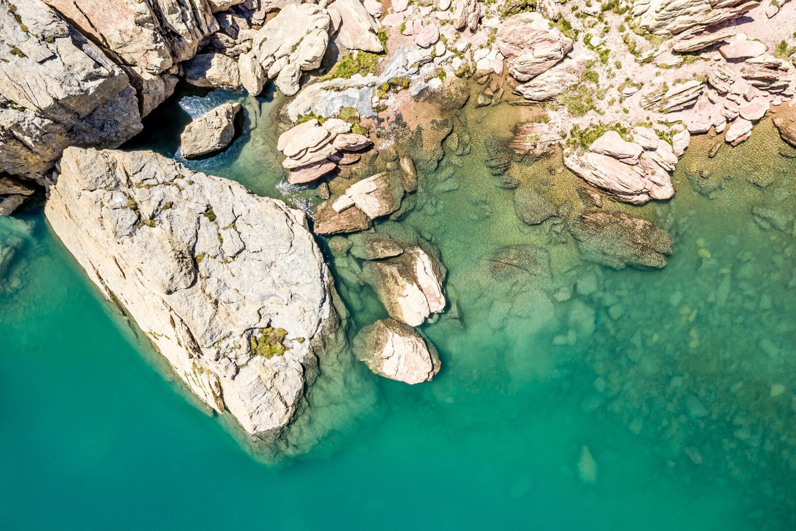
Lac des 9 couleurs et Mortice / Depuis les couniets - Sainte-Catherine
Sport, Hiking itinerary
in Vars
6.4
km
-
From the Couniets parking lot, take the trail following the sign for Lac des 9 Couleurs. Continue through the alpine pastures to the ridge and the traverse. There are plenty of marmots around!
Below the ridge overlooking the Laugier valley, continue along the trail heading south to reach the Col de Serenne.
From this point, climb a few switchbacks to the left to reach the Lac des 9 Couleurs.
From the lake, head to Mortice Sud in 1 hour 30 minutes. Caution: this final section is very...From the Couniets parking lot, take the trail following the sign for Lac des 9 Couleurs. Continue through the alpine pastures to the ridge and the traverse. There are plenty of marmots around!
Below the ridge overlooking the Laugier valley, continue along the trail heading south to reach the Col de Serenne.
From this point, climb a few switchbacks to the left to reach the Lac des 9 Couleurs.
From the lake, head to Mortice Sud in 1 hour 30 minutes. Caution: this final section is very steep and is rated black.
DISTANCES – ONE-WAY:
• Lac des 9 Couleurs: 4.5 km / 2 hours 30 minutes / 416 m elevation gain / 2,711 m elevation
• Mortice: 6.4 km / 4 hours / 874 m elevation gain / 3,169 m elevation
- Departure
- Vars
-
-
Difference in height
- 1016.38 m
-
-
-
Documentation
- GPX / KML files allow you to export the trail of your hike to your GPS (or other navigation tool)
-
- 1016 meters of difference in height
-
- Maximum altitude : 3100 m
- Minimum altitude : 2268 m
- Total positive elevation : 1016 m
- Total negative elevation : -184 m
- Max positive elevation : 320 m
- Min positive elevation : -123 m