©

© Léa Scappini

3 Logos K2 and Bca Zoom

Ski touring

Vars in sealskins

Take to the skies and escape to the heart of a larch forest. It’s a purely wild form of skiing that lets you discover the mountains in a whole new way. This authentic activity with signposted itineraries will give you a unique experience.

Discover

Ski touring

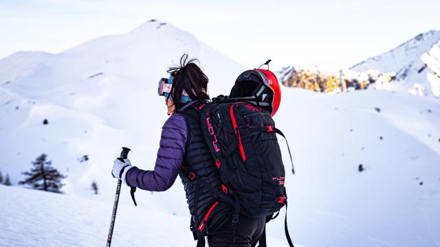
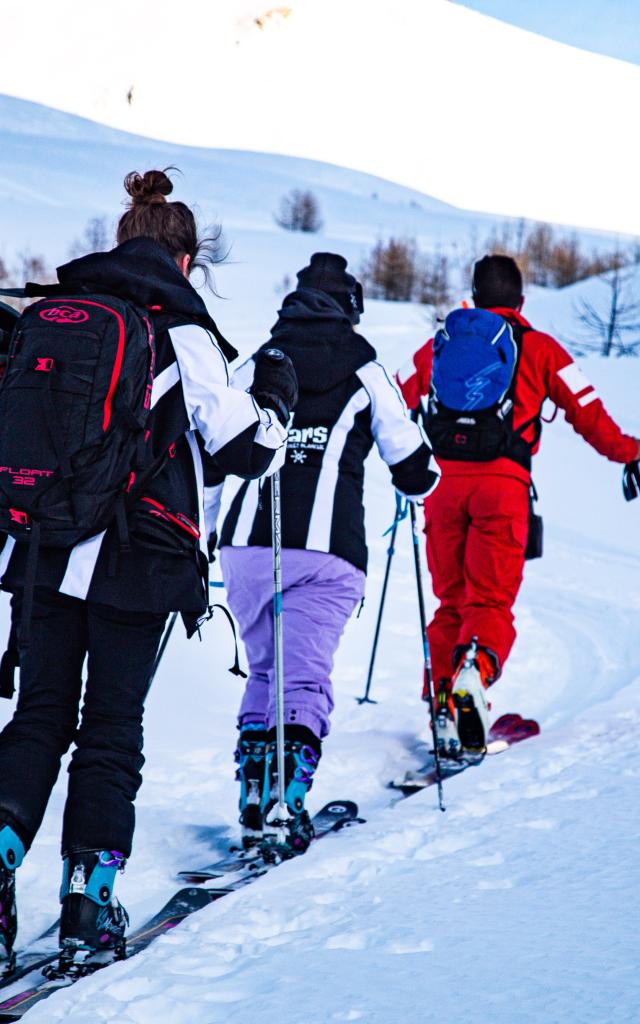
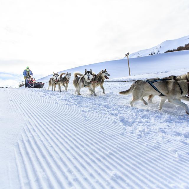
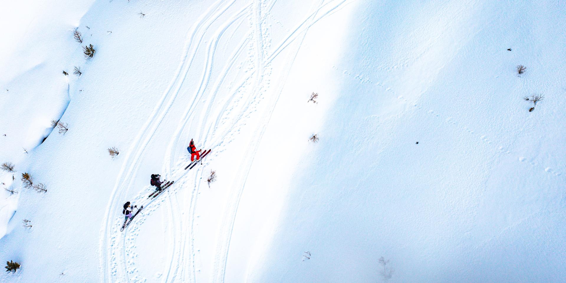
Also known as “nature skiing”,ski touring is an ancient discipline that has diversified over time thanks to the development of lighter equipment. The practice is attracting more and more enthusiasts keen to discover the mountains in a different, more responsible and sustainable way.

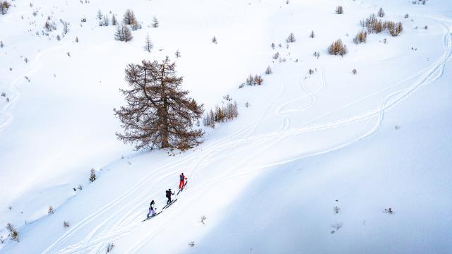
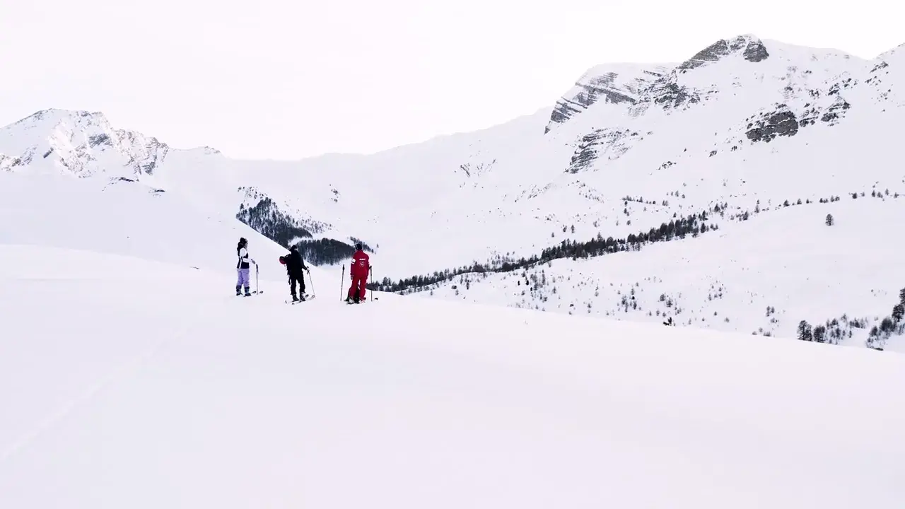
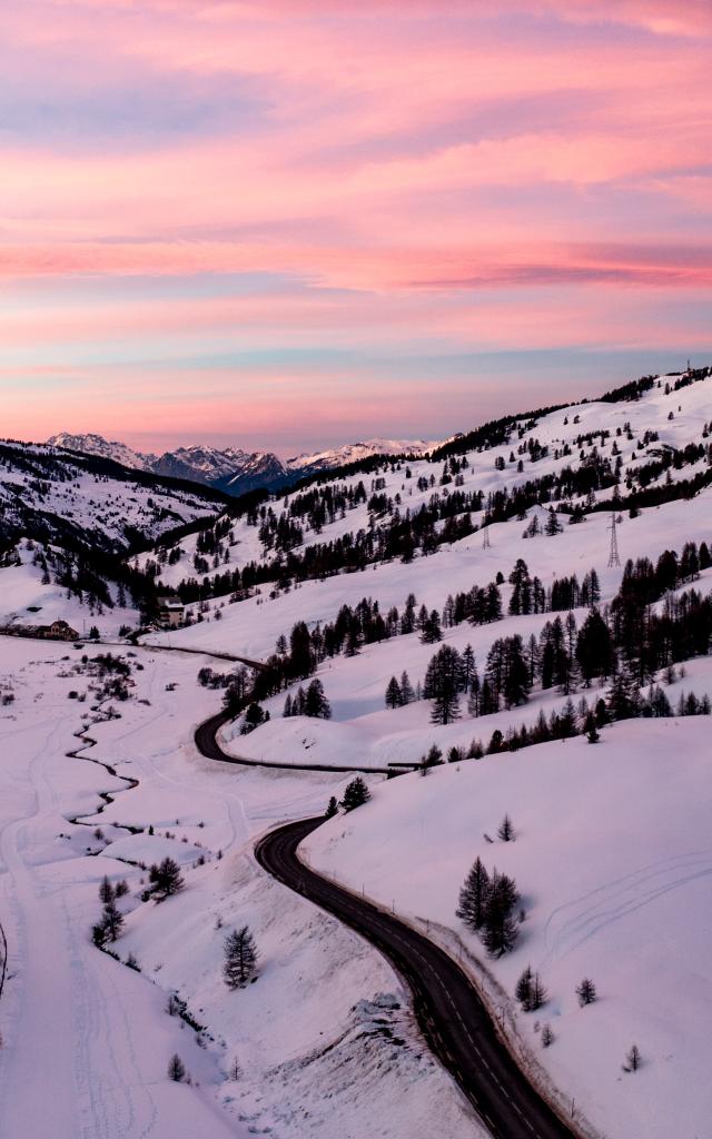
The resort of Vars has everything you need to make the most of this snow-covered world, with over 15 kilometres of marked itineraries. Downhill runs are groomed and safe, so beginners can rest assured. Every year, the resort welcomes a large number of enthusiasts to enjoy a 360-degree view of the Varsinc cirque and the most beautiful surrounding peaks.

Discover the last two ski touring itineraries

La Trace de Sibières

2.2 km

325 m ascent

Difficult level / ungroomed route

The Bois Noir ramp

5.1 km

400 m ascent

Not too difficult

100% groomed – shared with pedestrians

Put on your best skis to get away from the crowds, marvel at the Eyssina summit along the way and appreciate all the effort you put in on the way down.

5 PERMANENT ROUTES

The Forest PathDIFFICULT LEVEL (max gradient 30°)

Distance: 2.3 km, 340 m ascent – Average time: 2 hours

Altitudes: start 1860m – finish 2200m

At the foot of the Mayt chairlift, look out for the “ski de rando” sign on your left. Climb up into the heart of the forest, and the wide open spaces will reveal themselves just before the end of the itinerary, with an unobstructed view of the Eyssina summit. At the top of the Télémix, the descent is via the blue and red pistes.

Saluces passNOT VERY DIFFICULT LEVEL (max slope 20°)

Distance: 1.8 km, 310 m ascent – Average time: 1h30

Altitudes: start 2130m – finish 2440m

From the top of the Télémix, take the blue trail to the start at the foot of the DVA park. Look out for the “ski de rando departure” sign and take the path between the Jas du Boeuf piste and the Des Heureux piste. In the middle of the snowfields, you’ll appreciate the finely jagged scenery of the peaks: the Col des Saluces and the Col du Vallon. At the start of the piste des heureux, you’ve arrived. It’s time to savour a tidal wave of pure air as you glide down the blue piste.

La Trace de PeynierDIFFICULT LEVEL (max slope 25°)

Distance: 4 km and 351 m ascent – Average time: 3 hours

Altitudes: start at 1899m – finish at 2250m

Your outing starts behind the Lauzet residence in the direction of the Fontbonne chairlift. Take the ascent to the Napoléon refuge and then begin the ascent of Peynier in a wild environment. After admiring the view from the summit, you can enjoy the descent on the blue pistes of Les mélèzes and Serre Meyrand during ski area opening hours, i.e. from 9am to 4.30pm.

La Trace de Sibièresdifficult level

Distance: 2.2 km and 325 m ascent

Start point : Vars les Claux Fournet / Rail sledging

Finish: top of Sibières chairlift. Last wild section in the valleys, facing the Eyssina and the freeride couloirs.

70% of the route is in the forest, right next to the slopes.

This ski touring route is ideal for experienced mountaineers looking for a challenge.

The first part of the route is both steep and technical and requires a solid command of ski touring conversions, particularly at the start to reach the Faisandière piste. There is an escape route here. The second part of the route is a long, easier, uphill traverse overlooking Zakopane, still in the forest. You’ll enjoy panoramic views as well as a gentler climb. Finally, the last part of the route leaves the slopes and takes you to the finish of the Sibières chairlift for a series of valleys outside the forest, adding a touch of adventure to your itinerary.

Please note that this route may be closed depending on weather conditions, avalanche risk and pida. Check the information on any closures before venturing out on this route.

The Bois Noir rampnot too difficult

Distance: 5.1 km and 400 m ascent

Start: you need to take the shuttle bus to Sainte-Catherine, at the top of the village, where the route begins.

Finish: top of Peynier

An itinerary off the beaten track, in a wild environment with a 360° view at the finish.

The first part of this route is a long, flat traverse, ideal for a gentle warm-up. After crossing the Pont de la Salce, you take a wide groomed run through the heart of the forest. Next, there’s a steeper zigzag ramp, but you won’t need to make any conversions at this stage. You’ll reach the Lac de Peynier and then the summit of the Bois Noir.

Ski touring

Practice

Experience ski touring

SKI DE RANDO ❄️ Découvrez nos itinéraires permanents
Advice

Your questions

Always more

Enjoy the mountains without skiing!

Not a skier or just want to discover the mountains without a pair of skis on your feet?

Find out more